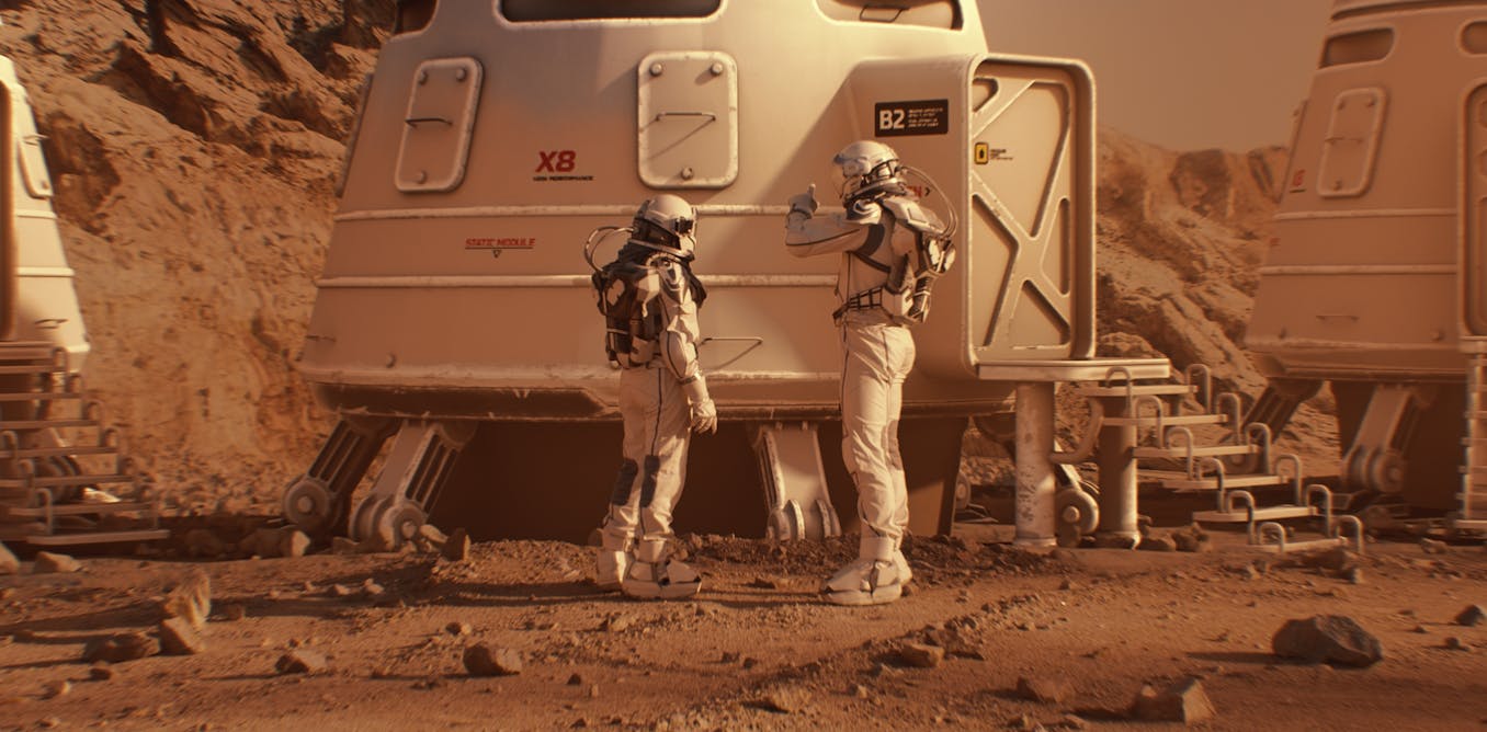
BBC Verify Live: Pictures show deadly Russian strikes in Ukraine, and further flooding in Pakistan

How we’re tracking wildfires in Spainpublished at 14:07 British Summer Time

Thomas Copeland
BBC Verify Live journalist

Image source, NASA

Wildfires in Spain have destroyed more than 3,430 sq km (1,320 sq miles) of land this year, according to data released today by the European Forest Fire Information System.

That’s equivalent to nearly half a million football pitches.

BBC Verify has been tracking the spread and intensity of wildfires across southern Europe this summer. One tool we’ve been using is Nasa’s Fire Information for Resource Management System (Firms), which detects active hot spots on the planet’s surface.

In this screenshot, you can clearly see hot spots indicating wildfire locations in northern Portugal and the north-western Spanish provinces of Galicia and Castile and Leon.

Two firefighters were killed in those regions yesterday, one in each country, and Spanish officials say there are battling 23 active fires today.

Wildfires are a common occurrence across southern Europe in the summer, but their severity can be exacerbated by heatwave conditions.

Climate change is causing these conditions to become more frequent, according to research from Spain’s state meteorological agency.

A firefighter next to a large fireImage source, EPA/Shutterstock

Continue Reading