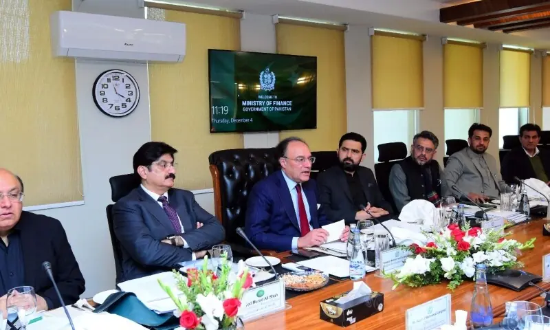
NOAA/British Geological Survey Release 2025 World Magnetic Model Report | NESDIS

NOAA’s National Centers for Environmental Information (NCEI) and the British Geological Survey have released their joint Technical Report for the 2025 World Magnetic Model (WMM 2025), the standard navigation model for the U.S. Department of Defense and the global public which provides critical global data for navigation systems on ships, aircraft, satellites, antennas and even your handheld smartphones and GPS devices.

Updated last December, the WMM provides accurate declination, which is the difference between true north and Earth’s magnetic north. The WMM is revised every five years to ensure that navigational instruments continue to provide correct readings as Earth’s magnetic field shifts over time.

“The WMM provides critical information about the Earth’s magnetic field, which is the foundation for safe and reliable navigation for military and civilian applications,” said Deke Arndt, Director of NOAA NCEI. “This model reflects NCEI’s commitment to transforming Earth system observations into scientific understanding and providing tools for the public good.”

For 2025, two versions of the model have been updated and released. In addition to the WMM 2025 version, the release includes the first-ever WMM 2025 High Resolution model, which provides greater directional accuracy for heading systems that are able to support this higher-resolution version. 

“Both the standard and high-resolution models provide crucial magnetic field data that enhance global positioning systems,” said Arnaud Chulliat, CIRES senior research scientist for NOAA NCEI. “Satellite GPS is an important tool for determining your location, but knowing your orientation– the direction you are facing–relies on Earth’s magnetic field.”

Learn more about the WMM and geomagnetic models from NOAA NCEI.
 

Continue Reading