ESA’s Moonraker lunar mapping mission will use a custom-designed lidar mapping payload by NUVIEW GmbH for landing site selections and broader scientific purposes.
Micro- and small-satellite builder SFL Missions recently announced it was chosen to form part of a team led by geospatial technology provider NUVIEW GmbH to conduct a study for the Moonraker lunar mapping mission, a three-year wide-area mapping project of the lunar polar regions to aid mission planners in landing site selections.
SFL Missions was chosen to become a member of the team for this study as their spacecraft have a great track record of on-orbit reliability and provide a best-in-class precision pointing capability, which is critical for the Moonraker mission. Moreover, SFL is developing NUVIEW’s technology demonstration satellite, so both companies were already working together on a similar mission.
SFL’s contribution to supporting the Moonraker mission concept
As part of the Pre-Phase A contract led by NUVIEW, SFL Missions is supporting the mission concept by contributing to transit trajectory analysis, orbit design, and satellite platform conceptual design for Moonraker. For Moonraker in particular, SFL is leveraging its largest lunar platform, the DAUNTLESS-L platform.
The mission analysis examines launch options and trajectories for efficient lunar orbit insertion and assesses how orbital parameters affect spacecraft design and data collection. The system design addresses payload integration, spacecraft configuration, and subsystem sizing, with particular focus on ensuring the propulsion system has sufficient fuel for transit and maintaining orbit against lunar gravity perturbations. Additionally, detailed mission and system requirements are established to inform future design phases.
Moonraker’s lidar payload
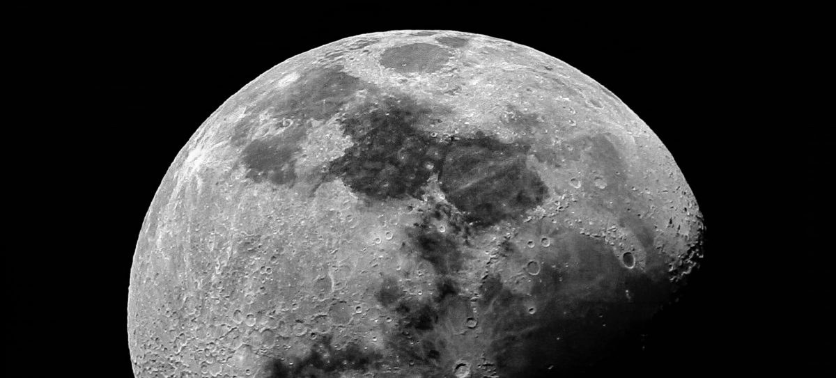
The Moonraker mission will consist of a single orbiter operating in a low-altitude polar orbit around the Moon. The orbiter will host a lidar payload to capture highly accurate elevation points of the terrain that will be used to generate 3D elevation models for assessing and selecting future landing sites.
The payload will be a mapping lidar custom-designed and developed by NUVIEW for the Moonraker mission. It will leverage the heritage of the lidar payload developed for NUVIEW’s technology demonstrator. The wide-area lidar mapper will cover both polar regions, or about 5 M square kms. The enhanced, high-fidelity zoom lidar will be tasked to cover individual landing sites approximate 425 x 425 m squared. Moonraker will fly in a circular polar orbit with a 50 km (mean) altitude.
Moonraker’s lidar data will also serve a broader scientific purpose, including scanning permanently shadowed regions for water ice and providing valuable insights into the Moon’s geological and interior composition.
Selecting a lunar landing site
There are many factors that mission planners consider when selecting a lunar landing site. First and foremost is whether the mission’s payload requires certain locations or environmental conditions to execute its scientific objectives.
Next is landing safety, which is the aspect Moonraker’s data will impact. Craters, boulders, and slopes can easily tip a lander. Given the extreme lighting conditions of the lunar poles and the relatively low resolutions of current digital elevation models (DEMs), safe landing sites are not guaranteed for lunar landers. Most landers today either land blindly and hope for the best, or they execute a hover maneuver over their landing site and scan it with a short range hazard detection and avoidance (HDA) lidar.
If no safe landing site can be found, the lander needs to carry sufficient propellant onboard to divert to a secondary landing site and repeat the process. This carries substantial risk that no safe landing site can be found, which is especially critical for manned landers. Moonraker’s data will enable mission planners to identify hazards down to small boulders and craters (considered the smallest obstacles which could tip a lander) before their missions ever launch.
Finally, there are other considerations such as length of the lunar day at the landing site latitude, thermal effects of the surrounding environment, and visibility of Earth for direct line-of-sight communications.