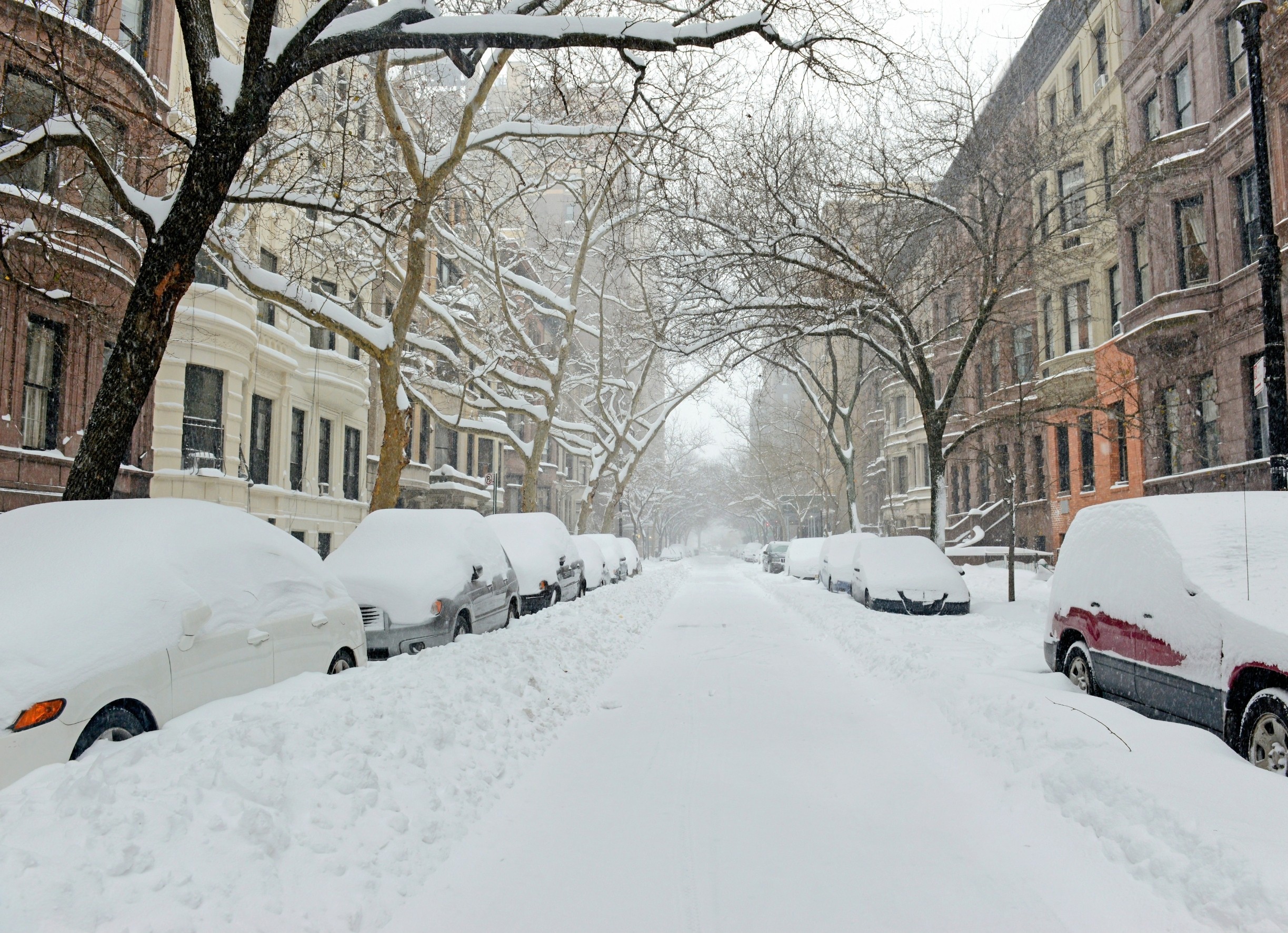
Many expect warmer winters to reduce cold snaps, but that hasn’t happened. A new study reveals that what happens high in the stratosphere still controls much of what happens at ground level.
A swirling band of cold air, the stratospheric polar vortex (SPV), sometimes shifts or weakens. Two specific variations of this vortex send Arctic air plunging into the U.S. One pattern (called P2) leads to severe weather in the Northwest.
The other (P3) hits the Central and Eastern regions. Since 2015, the Northwest has faced more of these brutal cold events, while the East has seen fewer. This shift aligns with more frequent La Niña episodes.
The study was conducted by researchers from the University of Massachusetts Lowell, Hebrew University of Jerusalem, and the Massachusetts Institute of Technology.
“The public often hears about the ‘polar vortex’ when winter turns severe, but we wanted to dig deeper and understand how variations within this vortex affect where and when extreme cold hits,” said the researchers.
The vortexes that drive winter cold
Using four decades of data, the researchers clustered five recurring SPV shapes (P1 to P5). Two of them, P2 and P3, were most associated with U.S. cold outbreaks.
P2 features a strong vortex centered over the pole with a stretched lower vortex. It often brings snow and cold to the Northwestern U.S.
P3 shows a weaker, displaced vortex toward the North Atlantic, steering cold into the Central and Eastern U.S. These variations do not just depend on vortex position but also on how atmospheric waves behave.
Planetary waves can either be absorbed or reflected in the stratosphere. When reflected, they can send cold air barreling southward. P3 events consistently show this reflection during the cold wave itself. P2 events often have wave reflection before the cold snap hits.
Where the cold hits and why
The researchers used the rAWSSI index, which considers temperature, snow depth, and snowfall.
The analysis revealed that P3 patterns produce the most extreme winter conditions in the Central and Eastern U.S., while P2 patterns primarily affect the Northwestern region with intense cold and snowfall. The findings help explain recent cold events, including the severe Texas freeze of 2021.
The Northwest has seen more P2 days recently. This increase matches a northwestward shift in cold air outbreaks. The central and eastern parts still get hit, but less often now.
Wave activity flux (WAF) offers clues. Before P2 events, reflection happens over Siberia and Alaska. During P3 events, strong reflection occurs over Asia and the Pacific. In P3, this reflection continues as the cold air descends.
Cold air starts in the east, spreads across the Midwest, and settles in the Northwest. These transitions help forecast where the next cold wave might land.
Global cycles influence winter cold
P2 is more frequent during La Niña conditions. P3 prefers El Niño phases. This suggests tropical ocean temperatures influence how the polar vortex behaves.
Other climate patterns play a role as well. The westerly phase of the Quasi-Biennial Oscillation (QBO) often coincides with P2 days.
On the other hand, the Arctic Oscillation (AO) tends to be more negative during P3 events, a state that supports increased cold outbreaks in the Central and Eastern United States.
Winter cold is shifting
Despite a warming climate, these findings suggest extreme cold will still return. But its location may shift. In the past decade, the coldest anomalies moved westward. That’s a change from decades of more common Eastern U.S. cold.
With better tracking of SPV patterns, meteorologists can now look 2 to 4 weeks ahead. The study shows that P3 often precedes P2, which means that a Central or Eastern cold event may be followed by a Northwestern one.
The high-altitude stratosphere, once seen as distant and separate, plays an active role in shaping winter. As climate change accelerates, it’s no longer enough to track surface temperatures. We need to watch the sky, too.
The research was funded by the National Science Foundation (NSF) , the U.S.–Israel Binational Science Foundation (BSF) , the U.S. Department of Energy (DOE) , and the National Oceanic and Atmospheric Administration (NOAA).
The study is published in the journal Science Advances.
—–
Like what you read? Subscribe to our newsletter for engaging articles, exclusive content, and the latest updates.
Check us out on EarthSnap, a free app brought to you by Eric Ralls and Earth.com.
—–