Basically, the spacecraft looks ahead along its orbital path and rapidly processes and analyses imagery with its onboard AI. This is to determine where to point an instrument, without any human involvement. The whole process took less than 90 seconds, it reports.
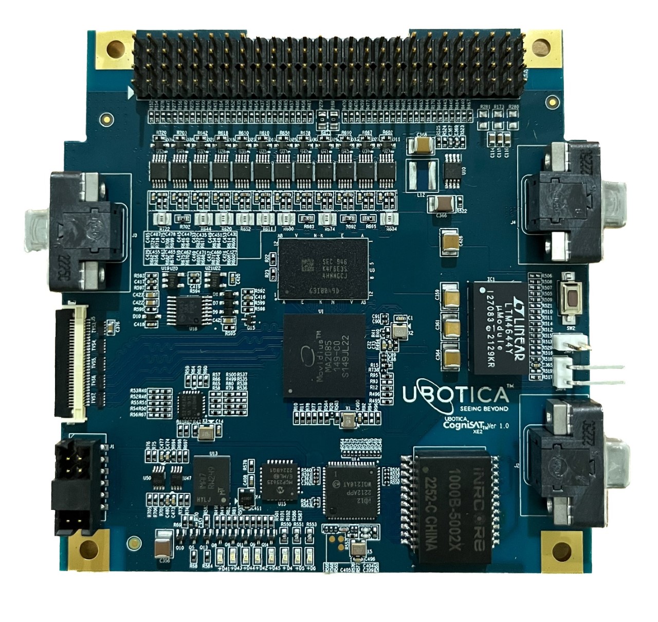
The Irish space AI company Ubotica designed and developed the CogniSAT-6 satellite’s AI payload, which was a first for such processing. It runs on the company’s SPACE:AI platform, a commercially available space-capable AI processor.
This AI-enabled autonomy will be crucial for a range of applications, believes Ubotica CEO, Fintan Buckley. For example, real-time wildfire detection, dark vessel tracking and climate science.
CogniSAT-6 first launched in March 2024 on the SpaceX Transporter-10 launch from the Vandenberg Space Force Base in California.
Φsat-2
Last week we reported on the European Space Agency’s Φsat-2 satellite completing its commissioning. The craft is testing onboard AI, using the intelligence to efficiently process and compress the EO images.
The Nasa test was conducted on CogniSAT-6, a CubeSat designed, built, and operated by Open Cosmos, which was also the prime contractor on the more recent Φsat-2 mission.
Dynamic Targeting
Ubotica highlighted it as the first test of Dynamic Targeting. This is a NASA Jet Propulsion Laboratory (JPL) technology for spacecraft to analyse upcoming terrain in real time. And then make smart decisions autonomously. For example, to avoid cloud-covered areas and focus on capturing usable, high-value data.
“The idea is to make the spacecraft act more like a human: Instead of just seeing data, it’s thinking about what the data shows and how to respond,” said Steve Chien, a technical fellow in AI at JPL and principal investigator for the Dynamic Targeting project.
“When a human sees a picture of trees burning, they understand it may indicate a forest fire, not just a collection of red and orange pixels. We’re trying to make the spacecraft have the ability to say, ‘That’s a fire’, and then focus its sensors on the fire.”
How does it work?
 Since CogniSAT-6 lacks an imager dedicated to looking ahead, the spacecraft tilts forward 40 to 50 degrees to point its optical sensor. This is a camera that sees both visible and near-infrared light.
Once look-ahead imagery has been acquired, Dynamic Targeting’s algorithm analyses it. Then the software determines where to point the sensor for cloud-free views. Meanwhile, the satellite tilts back for the planned imagery, capturing only the ground.
This all takes place in 60 to 90 seconds, as the spacecraft speeds in LEO at nearly 17,000 mph (7.5 kilometers per second).
Clouds
According to Nasa, this first flight test for Dynamic Targeting wasn’t hunting specific phenomena. For example the search for something like like fires will come later. This initial test was about avoiding the omnipresent phenomenon of clouds.
It is estimated that for EO satellites with optical sensors, clouds can get in the way as much as two-thirds of the time. Dynamic Targeting looks 300 miles (500 kilometers) ahead and has the ability to distinguish between clouds and clear sky. Only if the scene is clear will the spacecraft capture the surface when passing overhead. If it’s cloudy, the spacecraft cancels the imaging activity to save data storage for another target.
“If you can be smart about what you’re taking pictures of, then you only image the ground and skip the clouds. That way, you’re not storing, processing, and downloading all this imagery researchers really can’t use,” said Ben Smith of JPL, an associate with NASA’s Earth Science Technology Office, which funds the Dynamic Targeting work.
“This technology will help scientists get a much higher proportion of usable data.”
What next?
Following these initial test – with cloud-avoidance capability now proven – the next test will be hunting for severe weather. Basically, now targeting clouds instead of avoiding them.
Another test will be to search for thermal anomalies like wildfires and volcanic eruptions. The JPL team has developed unique algorithms for each application.
“This initial deployment of Dynamic Targeting is a hugely important step,” added Chien. “The end goal is operational use on a science mission, making for a very agile instrument taking novel measurements.”
Also, Dynamic Targeting could be adapted for use on Earth, For example, for use with radar to allow scientists to study dangerous extreme winter weather events called deep convective ice storms.
These are too rare and short-lived to closely observe with existing technologies. Specialised algorithms, however, could identify these storm formations with a satellite’s look-ahead instrument.
Alternatively, Dynamic Targeting could find a use on multiple spacecraft. In this case, communicating the results of onboard image analysis from a leading satellite to a trailing satellite. This could be targeting specific phenomena.
A test of the concept called Federated Autonomous MEasurement (FAME) will begin later this year.
Image: Ubotica’s CogniSAT-XE2 hardware platform
See also: Ubotica funded by EC to pioneer AI In Space Defence