30/07/2025
406 views
3 likes
Using data from several Earth-observing satellites, including ESA’s CryoSat and the Copernicus Sentinel-1 and Sentinel-2 missions, scientists have discovered that a huge flood beneath the Greenland Ice Sheet surged upwards with such force that it fractured the ice sheet, resulting in a vast quantity of meltwater bursting through the ice surface.
Partially funded by ESA’s Earth Observation FutureEO programme, an international team of researchers, led by scientists at Lancaster University and the Centre for Polar Observation and Modelling in the UK, studied a previously undetected lake beneath the ice sheet in a remote region of northern Greenland.
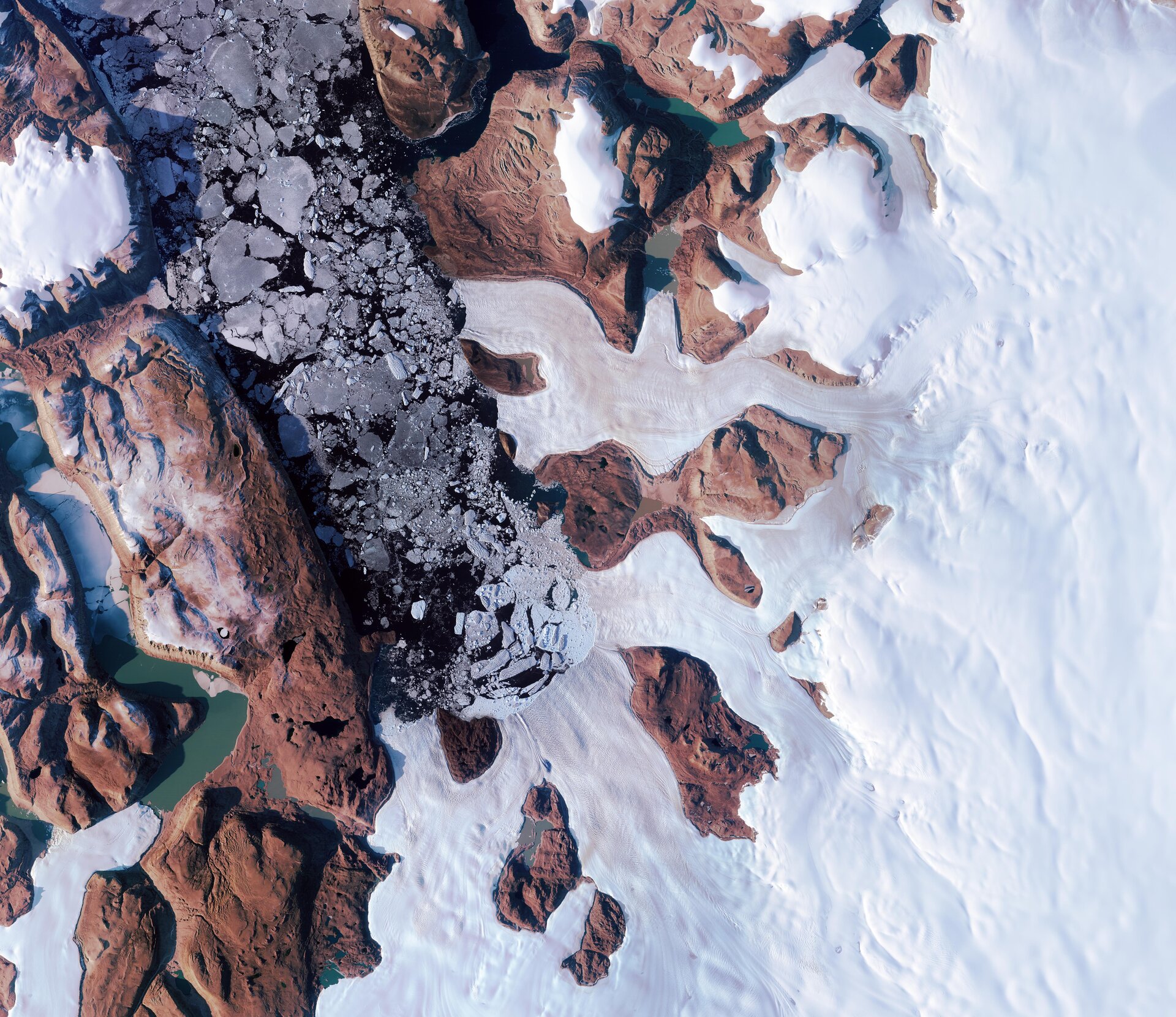
Using 3D models of the ice sheet surface from the ArcticDEM project, alongside data from multiple satellite missions including ESA’s ERS, Envisat and CryoSat, and Europe’s Copernicus Sentinel-1 and Sentinel-2, and NASA’s ICESat-2 missions, the researchers discovered that, in 2014, this subglacial lake suddenly drained.
Their research, published today in Nature Geoscience, reveals how, under extreme conditions, flooding from the drainage of a lake underneath the ice could force its way upwards and escape at the ice sheet surface.
These new finds shed new light on the destructive potential of meltwater stored beneath the ice sheet.
Over a 10-day period in the summer of 2014, a massive crater – 85 meters deep and spanning 2 square kilometres – formed on the surface of the ice sheet as 90 million cubic metres of water were suddenly released from this hidden subglacial lake.
This is equivalent to about nine hours’ worth of water thundering over Niagara Falls at peak flow, making it one of the largest recorded subglacial floods in Greenland.
While the sudden surge of meltwater was startling in itself, even more alarming was the accompanying damage – towering 25-metre-high ice blocks torn from the surface, deep fractures in the ice sheet, and the ice surface scoured by the flood’s destructive force.
Jade Bowling, who led this work as part of her PhD at Lancaster University, said, “When we first saw this, because it was so unexpected, we thought there was an issue with our data. However, as we went deeper into our analysis, it became clear that what we were observing was the aftermath of a huge flood of water escaping from underneath the ice.
“The existence of subglacial lakes beneath the Greenland Ice Sheet is still a relatively recent discovery, and – as our study shows – there is still much we don’t know about how they evolve and how they can impact on the ice sheet system.
“Importantly, our work demonstrates the need to better understand how often they drain, and, critically, what the consequences are for the surrounding ice sheet.”
While it was previously believed that meltwater travels downwards from the surface of the ice sheet to its base and eventually flows into the ocean, these new findings reveal that water can also move in the opposite direction – upwards through the ice.
Even more unexpected was the discovery that the flood took place in an area where models had indicated that the ice bed was frozen. This led researchers to suggest that intense pressure caused fractures beneath and through the ice sheet, creating channels through which the water could rise.
Current models that predict how ice sheets will respond to climate change and increased melting do not account for these upward-flowing, fracture-driven processes.
Mal McMillan, Co-Director of the Centre of Excellence in Environmental Data Science at Lancaster University, and Co-Director of Science at the UK Centre for Polar Observation and Modelling, said, “This research demonstrates the unique value of long-term satellite measurements of Earth’s polar ice sheets, which – due to their vast size – would otherwise be impossible to monitor.
“Satellites represent an essential tool for monitoring the impacts of climate change, and provide critical information to build realistic models of how our planet may change in the future.
“This is something that all of us depend upon for building societal resilience and mitigating the impacts of climate change.”
ESA’s Diego Fernandez, Head of the Earth Observation Science Section, noted, “This discovery is remarkable, and we’re proud that our Science for Society 4D Greenland project has played a key role in making it possible.
“The project’s goal is to deepen our understanding of the hydrology of the Greenland Ice Sheet by leveraging data from Earth observation satellites, and, in particular, to shed light on how the ice sheet is responding to climate change.
“This result adds to the body of knowledge we are establishing through the ESA Polar Science Cluster on how the Arctic is changing in response to increased warming. Gaining insight into its hydrology is crucial for understanding these changes – and for predicting how the ice sheet will contribute to global sea-level rise in a warming climate.
“We congratulate the research team on advancing our understanding of this vulnerable region.”