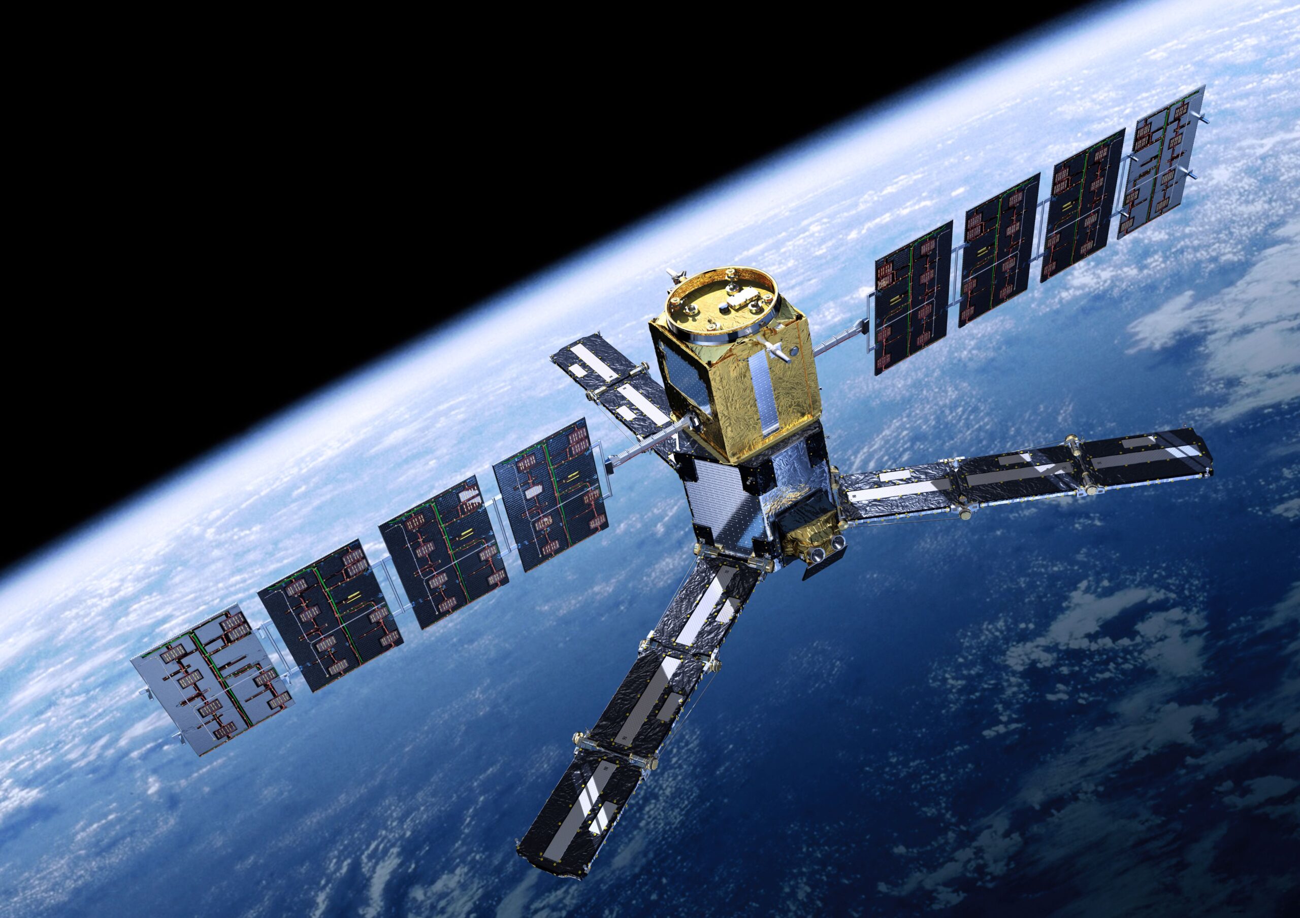
Satellites are offering an unprecedented view into the changing nature of Earth’s forests, revealing how climate variability and human activity are reshaping their ability to store carbon. Forests serve as natural carbon reservoirs, absorbing and retaining carbon in their trunks, branches, roots, and foliage. However, this capacity is not static. Shifts in climate and land use can disrupt the balance, making it essential for scientists to monitor forest biomass consistently over time.
In a new study, researchers from the European Space Agency (ESA) demonstrated how satellite technology initially designed for other purposes can be repurposed to track forest biomass. Using data from the Soil Moisture and Ocean Salinity (SMOS) satellite, launched in 2009, the team analysed vegetation changes over a 15-year period. Central to their approach was a metric known as vegetation optical depth (VOD), which measures how much vegetation interferes with microwave signals emitted by the satellite.
Although SMOS was developed to measure soil moisture and ocean salinity, its Microwave Imaging Radiometer has proven capable of detecting signals from vegetation as well. The VOD readings indicate the density and moisture content of plant matter, offering indirect but valuable insights into above-ground biomass—including both dry components like wood and the water held in leaves and stems.
“SMOS can detect the weakening of microwave radiation as it passes through vegetation,” explained Matthias Drusch, ESA’s Land Surfaces Principal Scientist. “This attenuation tells us about total biomass, including water content. It’s not a direct measurement, but it’s highly informative.”
Interpreting VOD data across time reveals broad patterns in forest ecosystems, such as the impact of droughts, floods, and structural changes in vegetation. However, the complexity of the signal—which reflects both biomass and moisture—requires careful analysis.
“You can see major shifts in the SMOS time series, but understanding what they mean isn’t always straightforward,” said Klaus Scipal, ESA’s SMOS and Biomass Mission Manager. “Because the signal blends dry mass and water, we need to be cautious in our interpretations.”
To improve accuracy, researchers are integrating satellite observations with ground-based data. Paul Vermunt, a scientist at the University of Twente in the Netherlands, emphasised the importance of this dual approach.
“Long-term satellite records are essential, but they need context,” Vermunt said. “By combining remote sensing with field measurements, we can better understand what’s happening inside forests—and even within individual trees.”
Earlier this year, ESA launched a new satellite named Biomass, explicitly designed to study forest structure using radar technology. Unlike SMOS, which operates in the L-band, Biomass uses P-band radar, allowing it to penetrate deeper into forest canopies and provide more detailed structural information, particularly in tropical regions.
“Biomass offers high-resolution data that helps us examine forest architecture,” said Drusch. “But it doesn’t provide global coverage or a long historical record. To build comprehensive maps, we need to merge data from multiple satellites—and that requires understanding the limitations of each.”
Scipal added, “Biomass lets us zoom in on fine structural features, while SMOS gives us the long-term global perspective. Together, they offer a more complete picture than either could alone.” The study’s findings align with other climate datasets, including those from ESA’s Climate Change Initiative. As more satellites are launched and analytical tools improve, researchers are gaining a clearer, more nuanced understanding of the planet’s forests—and the forces driving their transformation.
For more information: Boitard, S., Mialon, A., Mermoz, S., Rodríguez-Fernández, N. J., Richaume, P., Salazar-Neira, J. C., Tarot, S., and Kerr, Y. H.: Aboveground biomass dataset from SMOS L-band vegetation optical depth and reference maps, Earth Syst. Sci. Data, 17, 1101–1119, https://doi.org/10.5194/essd-17-1101-2025, 2025.
