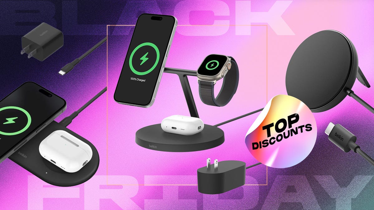
Clear skies on Mars as NASA rover captures one of the sharpest panoramas of the Red Planet ever taken

This is one of the sharpest, clearest panoramas ever captured by NASA’s Perseverance rover, showing what it’s really like on the surface of Mars

The mosaic was stitched together using 96 images taken by Perseverance at a location known as ‘Falbreen’.

NASA’s Perseverance rover has enabled scientists to hear sound on Mars for the first time. Credit: Dima Zel / Getty Images

Visible in the image are are a rock that seems to be lying on top of a ripple of sand, a border line between two geologic units and views of hills 65km (40 miles) away.

Enhanced-colour view of an area on Mars nicknamed 'Flabreen', captured by NASA's Perseverance Mars rover on 26 May 2025. Credit: NASA/JPL-Caltech/ASU/MSSS
Enhanced-colour view of an area on Mars nicknamed ‘Flabreen’, captured by NASA’s Perseverance Mars rover on 26 May 2025. Credit: NASA/JPL-Caltech/ASU/MSSS

Two versions of the image have been released: an enhanced-colour version (above) showing just how clear the Martian skies were when the image was taken, and a natural-colour version (below), showing the true, rusty red colour of the planet’s sky.

The rover’s Mastcam-Z instrument captured the images on 26 May 2025.

“The relatively dust-free skies provide a clear view of the surrounding terrain,” says Jim Bell, Mastcam-Z’s principal investigator at Arizona State University in Tempe.

“And in this particular mosaic, we have enhanced the color contrast, which accentuates the differences in the terrain and sky.”

Natural-colour view of an area on Mars nicknamed 'Flabreen', captured by NASA's Perseverance Mars rover on 26 May 2025. Credit: NASA/JPL-Caltech/ASU/MSSS
Natural-colour view of an area on Mars nicknamed ‘Flabreen’, captured by NASA’s Perseverance Mars rover on 26 May 2025. Credit: NASA/JPL-Caltech/ASU/MSSS

What we can see in the image

A large rock appears to sit on top of a dark, crescent-shaped sand ripple to the right of the centre of the mosaic. It’s about 4.4 metres (14 feet) from the rover.

This is a ‘float rock’, much like Skull rock, so-called because it probably formed at a different location and was transported to its current location by a natural process like a landslide, water or wind.

The NASA science team suspect it arrived at the location seen in the image before the sand ripple formed.

We can also see a bright white circle, left of centre and near the bottom, which is an abrasion patch.

The patch is 5cm (2 inches) wide and was made by Perseverance rover’s drill, to enable the science team to see beneath the surface of the rock before deciding to drill a core sample to be stored in one of the rover’s sample tubes.

Perseverance made the abrasion on 22 May 2025 and analysed the rocks and soil with its science instruments.

The science team back on Earth are particularly interested in Falbreen because this region could be some of oldest terrain Perseverance has ever explored, even older than Jezero Crater.

We can also see the rover’s tracks on the right, showing the route it took to reach this location.

And halfway up the mosaic, there’s a visible boundary between lighter-toned and darker-toned rocks.

The flat, lighter-coloured rocks are rich in the mineral olivine, while the darker rocks farther away are thought to be older clay-bearing rocks.

Continue Reading