Scientists have long struggled to figure out the tricky dynamics of fault slip during a major earthquake. Now, for the first time, they have observed the exact moment the Earth split, in real-time.
Using CCTV footage from the March 28, 2025, Myanmar earthquake, researchers captured the fault slip, the movement of rock masses on either side of a fault plane, as it happened.
What they observed was different from what they had expected to happen. The movement path of the ground was not straight, but instead curved.
Capturing the moment the Earth ruptured
It was a magnitude 7.7 earthquake that began 12.4 miles (20 kilometers) west of Mandalay at a depth of 6.2 miles (10 kilometers). It struck along the Sagaing Fault, the major fault line in Myanmar that moves sideways when two tectonic plates slide past each other.
Lasting around 90 seconds, it spread to both north and south along the fault. The entire rupture, the portion of the fault that slipped, was 249 miles (400 kilometers) in length.
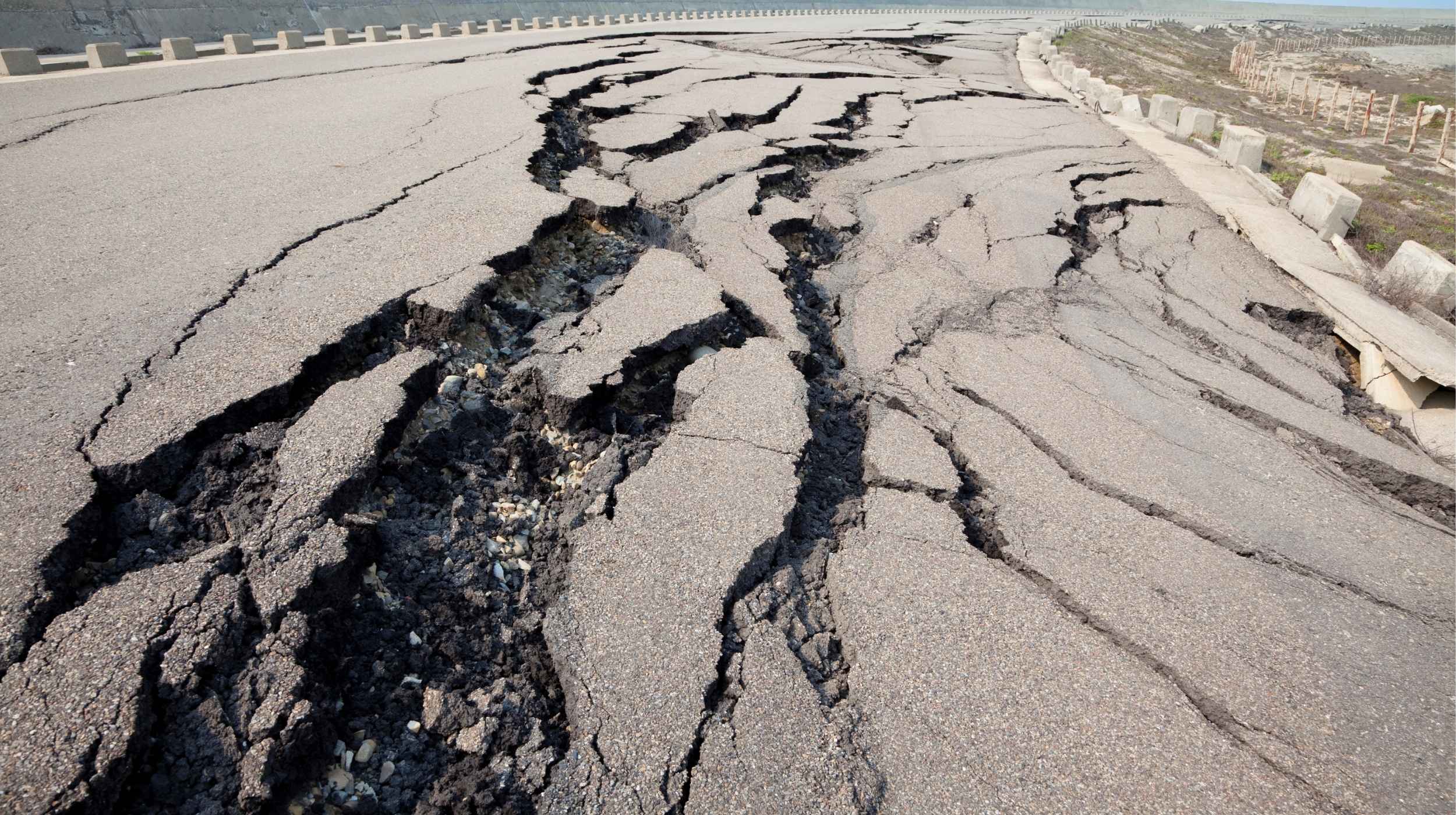
The fracture on the Earth’s crust, where the rock blocks slide past each other, known as surface strike-slip, exceeded 6 meters (19.6 feet). This disaster caused severe destruction and took 3,600 lives.
By chance, a CCTV camera was positioned approximately 20 meters (65 feet) from the Sagaing Fault and 74.5 miles (120 kilometers) from the starting point of the quake. That camera, meant to monitor the fault, became an unexpected scientific goldmine.
How scientists decoded the Earth split
In the footage, researchers saw that the western side of the fault slid northwards in about two seconds. It formed a 1 to 2 meter (3 to 6.5 foot) wide mole track, which is a ridge-like feature that forms long cracks.
They analyzed each video frame to see how tiny details of the Earth split shifted over time using a method called pixel cross‐correlation. They studied motion on both the near and far sides of the fault.
For this, they considered objects with known size and position, like fence posts. They corrected for distortion and viewing angle to get accurate results.
CCTV for earthquake tracking
Traditionally, scientists rely on slickenlines, which are curved scratch marks that appear on the fault lines due to the movement of rocks during an earthquake. Their shape hints at rupture direction and earthquake history.
However, these only record a fraction of the slip, resulting in incomplete records or overlaps with multiple scratches.
Additionally, geologists often observe these records days after the event, providing inaccurate data on how the rupture unfolds in real-time.
In another approach, they use instruments like strong‐motion seismometers or high‐rate Global Navigation Satellite Systems, which can measure the ground motions within a few kilometers from where the fault breaks.
Since these instruments are not right on the fault, their readings can be inaccurate. Plus, they are usually placed on just one side of the fault, making it tricky to piece together how both sides of the Earth split moved relative to each other.
At a given point on the fault, the main slip was completed in just 1.3 seconds, moving faster than 3 meters per second. This was a “pulse-like” rupture, a burst of movement followed by a sudden pause.
Scientists have observed similar movement before in large earthquakes, but the mechanism of its sudden arrest is yet to be confirmed.
One theory suggests that the pause begins from the base of the fault during long, sideways‐moving ruptures, the same phenomenon observed in the Myanmar earthquake. Further studies using computer model simulations can bring more insight into this topic.
This time, researchers found real-time and direct evidence that proved that curved slickenlines can form during the earthquake itself.
The geometry of these curves was consistent and matched the one seen in the 2016 Kaikōura earthquake in New Zealand.
Earthquake insights for a safer future
In the New Zealand earthquake, the slip started at an angle and then gradually curved to become mostly sideways. In the Myanmar earthquake, the slip rapidly curved as it sped up and then straightened as it slowed down.
Dynamic rupture models have predicted a similar pattern. The models suggest that the curvature comes from dynamic stress, which depends on the direction of rupture propagation.
In this case, the rupture propagated south past the CCTV camera, and the east side of the fault shifted both south and upward.
The study measured both the on-fault slip velocity and the off-fault ground velocity during the same earthquake.
They compared this to measure how far the fault moves before friction drops to its minimum, known as the slip-weakening distance.
The results showed that data from stations near a fault can stand in for direct fault measurements, even though they produce slightly noisier data.
All of this will help make future earthquake models more accurate and give scientists a clearer picture of what controls fast fault movement in big quakes.
The full study was published in the journal The Seismic Record.
—–
Like what you read? Subscribe to our newsletter for engaging articles, exclusive content, and the latest updates.
Check us out on EarthSnap, a free app brought to you by Eric Ralls and Earth.com.
—–