Hurricane Erin has intensified into a category 5 storm as it churns its way over the Atlantic, brushing past islands in the north-east Caribbean.
The National Hurricane Center (NHC), in Miami, said on Saturday that Erin – which it described as “catastrophic” – was still not expected to hit land in the US and would swerve away, but forecasters have warned that strong winds and heavy rain could cause flooding and landslides on nearby islands.
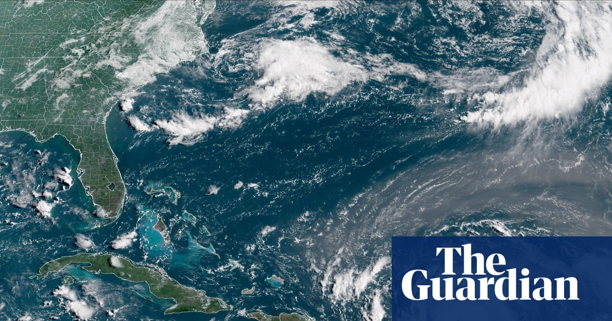
At the time of publication, the storm was 105 miles (170km) north-east of Anguilla, recording maximum wind speeds of 160mph (255km/h). It was moving west at 17mph (27km/h) and was expected to pass near the Leeward Islands on Saturday, bringing 2-4in (5-10cm) of rain to some areas, with up to 6in (15cm) in the heaviest downpours.
The storm’s outer bands of rain were beginning to affect some islands, and more rain was expected on Sunday, NHC forecasters said.
“Swells generated by Erin will affect portions of the northern Leeward Islands, the Virgin Islands, Puerto Rico, Hispaniola, and the Turks and Caicos Islands through the weekend,” the NHC said.
The swells would spread to the Bahamas, Bermuda and along the east coast of the US early next week, it said, warning of rough ocean conditions and “life-threatening” rip currents.
The winds had more than doubled in speed in the past 24 hours, from a 70mph tropical storm on Friday to a 145mph category 4 on Saturday.
Tropical storm watches were in place for the northern Leeward Islands of St Martin, St Barts, Anguilla and Barbuda, with rainy conditions possible there for the next 48 hours.
Erin is the first major Atlantic hurricane of the 2025 season and is expected to strengthen as it passes over warmer-than-normal ocean temperatures. A major hurricane is one that reaches at least category 3 on the Saffir-Simpson hurricane wind scale.
“By the middle of next week, Erin is forecast to at least double or triple in size, which will result in rough ocean conditions over the western Atlantic,” the NHC said.
This rapid intensification is happening more frequently as global temperatures rise due to global heating.
The US government has deployed more than 200 employees from the Federal Emergency Management Agency (Fema) and other agencies to Puerto Rico as a precaution. Forecasters issued a flood watch for the entirety of Puerto Rico – a US territory – from late Friday into Monday.
Puerto Rico’s housing secretary, Ciary Pérez Peña, said 367 shelters have been inspected and could be opened if needed.
The US coast guard said on Friday that it closed six seaports in Puerto Rico and two in the US Virgin Islands to all incoming vessels unless they had received prior authorization.
Meanwhile, officials in the Bahamas said they prepared some public shelters as a precaution as they urged people to track the hurricane.
“These storms are very volatile and can make sudden shifts in movement,” said Aarone Sargent, managing director for the Bahamas’ disaster risk management authority.
The Associated Press contributed reporting