Sentinel-6 Michael Freilich and Sentinel-6B are part of the Sentinel-6/Jason-CS (Continuity of Service) mission, the latest in a series of ocean-observing radar altimetry missions that have monitored Earth’s changing seas since the early 1990s. Sentinel-6/Jason-CS is a collaboration between NASA, ESA, the European Union, EUMETSAT (European Organisation for the Exploitation of Meteorological Satellites), and NOAA (U.S. National Oceanic and Atmospheric Administration). The European Commission provided funding support, and the French space agency CNES (Centre National d’Études Spatiales) contributed technical support.
Keeping current
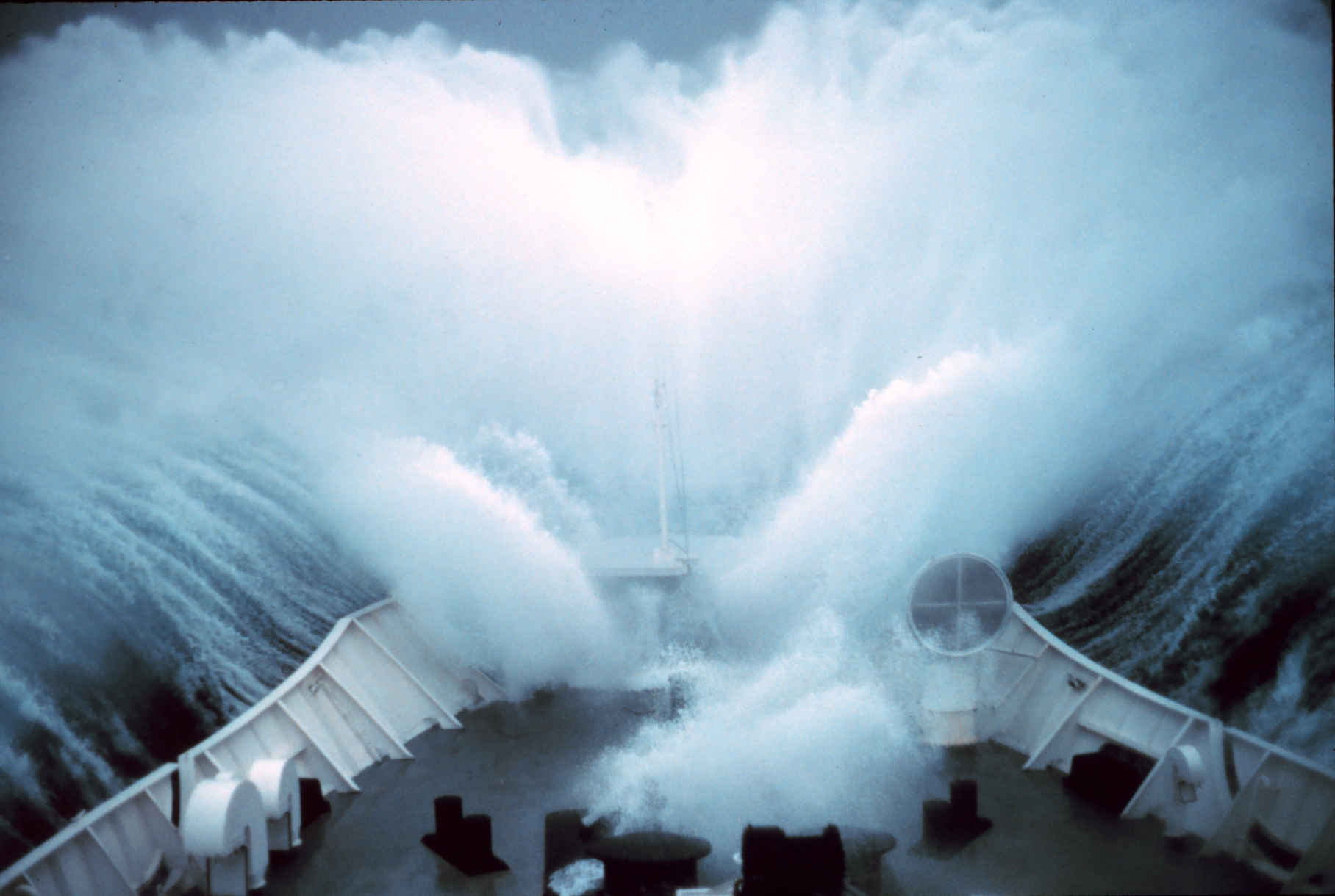
“The ocean is getting busier, but it’s also getting more dangerous,” said Avichal Mehra, deputy director of the Ocean Prediction Center at the National Weather Service in College Park, Maryland. He and his colleagues produce marine weather forecasts using data from ocean-based instruments as well as complementary measurements from five satellites, including Sentinel-6 Michael Freilich. Among those measurements: sea level, wave height, and wind speed. The forecasters derive the location of large currents from changes in sea level.
One of the planet’s major currents, the Gulf Stream is located off the southeastern coast of the United States, but its exact position varies. “Ships will actually change course depending on where the Gulf Stream is and the direction of the waves,” said Mehra. “There have been instances where, in calm conditions, waves interacting with the Gulf Stream have caused damage or the loss of cargo containers on ships.”
Large, warm currents like the Gulf Stream can have relatively sharp boundaries since they are generally higher than their surroundings. Water expands as it warms, so warm seawater is taller than cooler water. If waves interact with these currents in a certain way, seas can become extremely rough, presenting a hazard to even the largest ships.
“Satellite altimeters are the only reliable measurement we have of where these big currents can be,” said Deirdre Byrne, sea surface height team lead at NOAA in College Park.
There are hundreds of floating sensors scattered about the ocean that could pick up parts of where such currents are located, but these instruments are widely dispersed and limited in the area they measure at any one time. Satellites like Sentinel-6B offer greater spatial coverage, measuring areas that aren’t regularly monitored and providing essential information for the forecasts that ships need.
Consistency is key
Sentinel-6B won’t just help marine weather forecasts through its near-real-time data, though. It will also extend a long-term dataset featuring more than 30 years of sea level measurements, just as Sentinel-6 Michael Freilich does today.
“Since 1992, we have launched a series of satellites that have provided consistent sea level observations from the same orbit in space. This continuity allows each new mission to be calibrated against its predecessors, providing measurements with centimeter-level accuracy that don’t drift over time,” said Severine Fournier, Sentinel-6B deputy project scientist at NASA’s Jet Propulsion Laboratory in Southern California.
This long-running, repeated measurement has turned this dataset into the gold standard sea level measurement from space — a reference against which data from other sea level satellites is checked. It also serves as a baseline, giving forecasters a way to tell what ocean conditions have looked like over time and how they are changing now. “This kind of data can’t be easily replaced,” said Mehra.
More about Sentinel-6B
Sentinel-6/Jason-CS was jointly developed by ESA, EUMETSAT, NASA, and NOAA, with funding support from the European Commission and technical support from CNES.
A division of Caltech in Pasadena, JPL contributed three science instruments for each Sentinel-6 satellite: the Advanced Microwave Radiometer, the Global Navigation Satellite System – Radio Occultation, and the Laser Retroreflector Array. NASA is also contributing launch services, ground systems supporting operation of the NASA science instruments, the science data processors for two of these instruments, and support for the U.S. members of the international Ocean Surface Topography and Sentinel-6 science teams.
For more about Sentinel-6/Jason-CS, visit:
https://sealevel.jpl.nasa.gov/missions/jason-cs-sentinel-6