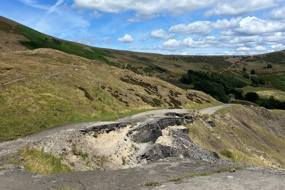
This approach already provides a powerful disaster-management tool, allowing decision makers to quickly identify areas that are currently at risk from ground motion. By highlighting these vulnerable areas, it supports smarter prioritisation of detailed field surveys, maintenance, and mitigation strategies, reducing costs and improving safety.
Next steps will focus on refining this national-scale analysis by integrating more detailed topographical data, to move from identifying unstable slopes to automatically mapping individual landslides within those slopes. This will enable more precise classification of landslide types and extents and the likely triggering mechanisms. The results will be shared with key stakeholders, including local authorities, infrastructure owners and the Natural Hazards Partnership.
Camilla Medici, postdoctoral researcher at the University of Florence
