World Health Organization. Global Tuberculosis Report 2023. (WHO, 2023).
Nyang’wa, B.-T. et al. A 24-week, all-oral regimen for rifampin-resistant tuberculosis. N. Engl. J. Med. 387, 2331–2343 (2022).
World Health Organization. Global Tuberculosis Report 2023. (WHO, 2023).
Nyang’wa, B.-T. et al. A 24-week, all-oral regimen for rifampin-resistant tuberculosis. N. Engl. J. Med. 387, 2331–2343 (2022).
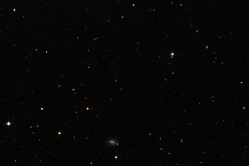
Small and unassuming, Segue 1 is a nearby dwarf galaxy containing only a handful of stars – too few to provide the gravity needed to keep itself from scattering into space. Like other dwarf galaxies, it was long believed that…
Flying at high altitudes or traveling in space exposes the human body to extreme changes in pressure, temperature, and oxygen levels—environments that traditional cell cultures fail to mimic. Scientists at Texas A&M…
Tuesday, 25 November 2025, 19:10
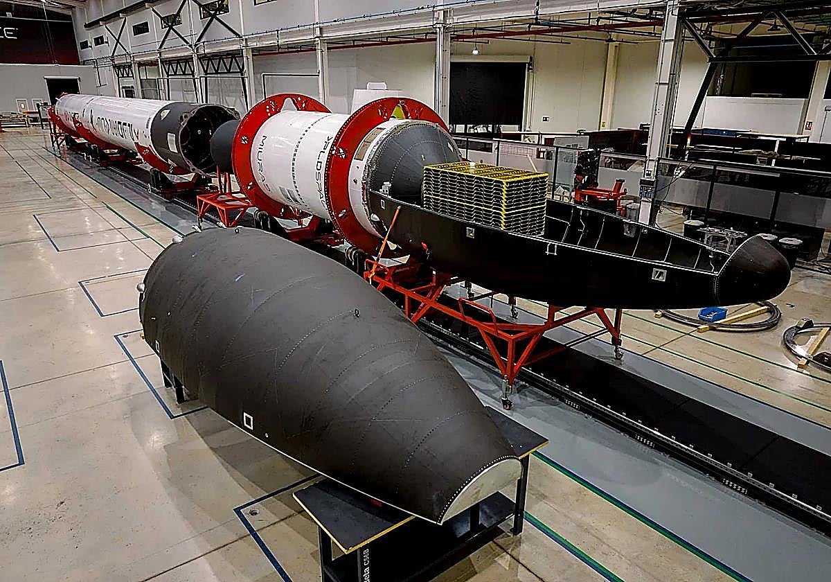
The space transportation company PLD Space has unveiled its first integrated unit of the Miura 5, the 100 per cent Spanish reusable super rocket scheduled for launch in the first quarter of 2026 from…
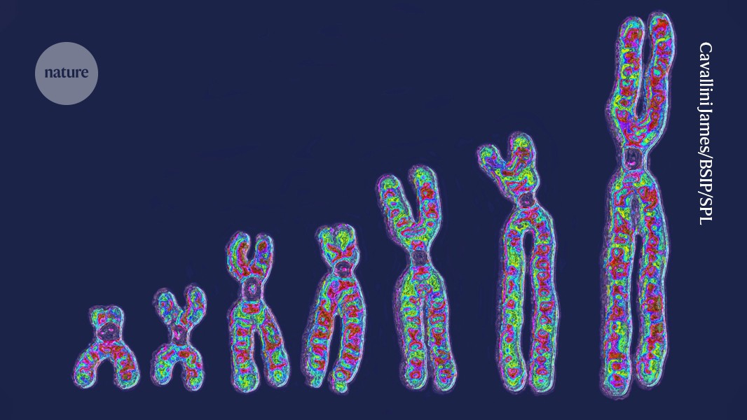
Human chromosomes (artificially coloured) vary widely from cell to cell, according to an investigation of the DNA in more than 100 cells from a single person. Credit: Cavallini James/BSIP/Science Photo Library
In a technological tour-de-force,…

Scientists often study Antarctica to understand our planet’s future. The continent looks frozen, yet its deep processes shape ocean life far beyond its shores.
New work now reveals a slow but powerful natural system that links exposed…
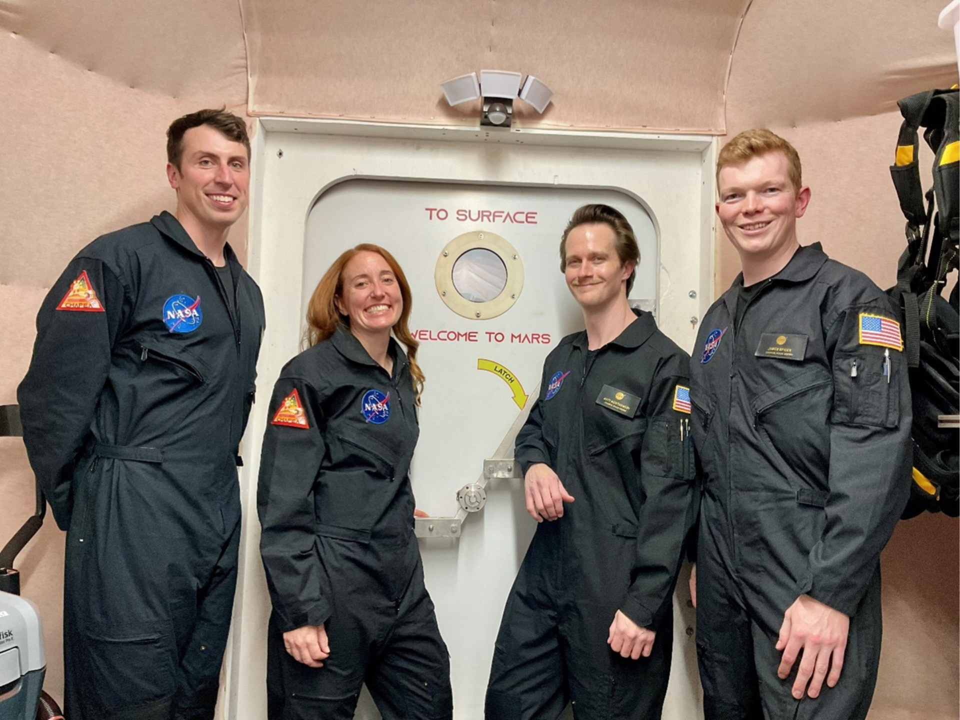
A crew of four research volunteers stepped inside NASA’s CHAPEA (Crew Health and Performance Exploration Analog) habitat on Oct. 19, marking the start of the agency’s second 378-day simulated Mars mission.
Ross Elder, Ellen Ellis, Matthew…
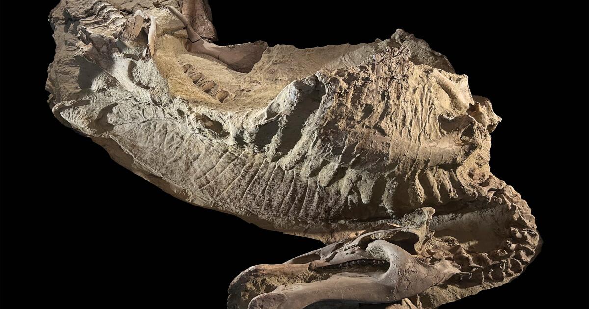
NEW YORK — Researchers have unearthed a pair of dinosaur mummies that seem to have been preserved in an unexpected way.
The dinosaur remains are different from the wrapped mummies of Egypt or natural human mummies that get accidentally…