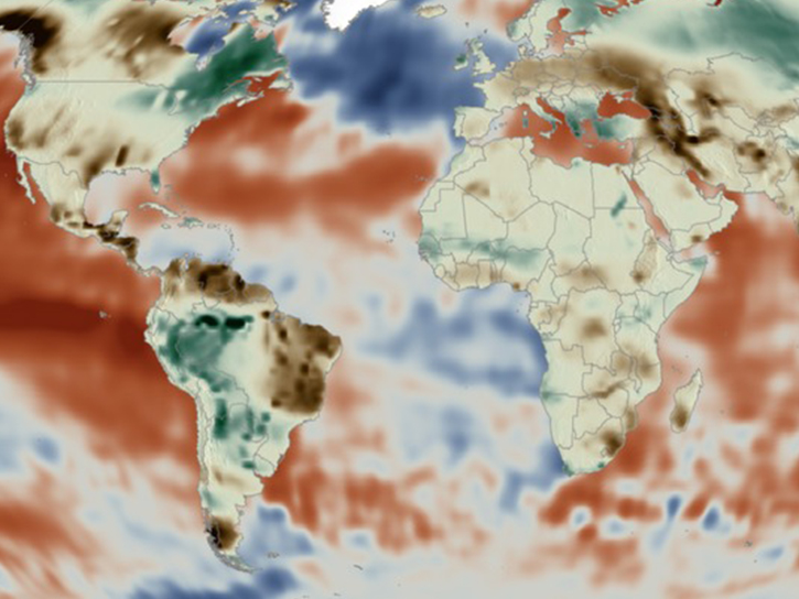
Many infectious diseases are sensitive to certain climates and thrive in others. Consider malaria, which is rife in warm, humid, wet climates, and practically nonexistent in areas with cold temperatures or high altitudes. Given the fact that many of these climate variables can be observed from space, this allows users to predict where certain disease outbreaks may occur.
On October 7 and 9, 2025, NASA’s Applied Remote Sensing Training Program (ARSET) is offering a two-part, live, online training on the use of NASA satellite data for tracking climate-sensitive vector-borne disease outbreaks. Those who attend will learn about general approaches when applying satellite remote sensing data to studying or forecasting climate-sensitive infectious diseases. These will be illustrated with a case study example showing how remote sensing has been used to forecast malaria outbreaks.
This training will also present some common, freely available NASA remote sensing datasets used in these applications, as well as where and how to access them, and how to decide which datasets are fit for this purpose.
This training is open to the public and is recommended for biostatisticians, medical students, vector ecologists, biologists studying disease vector organisms, public health officials, and non-governmental organizations (NGOs) tasked with monitoring and preparing for infectious disease outbreaks.