Scientists unveiled some unusual information about space. A group of researchers and…
Category: 7. Science
-
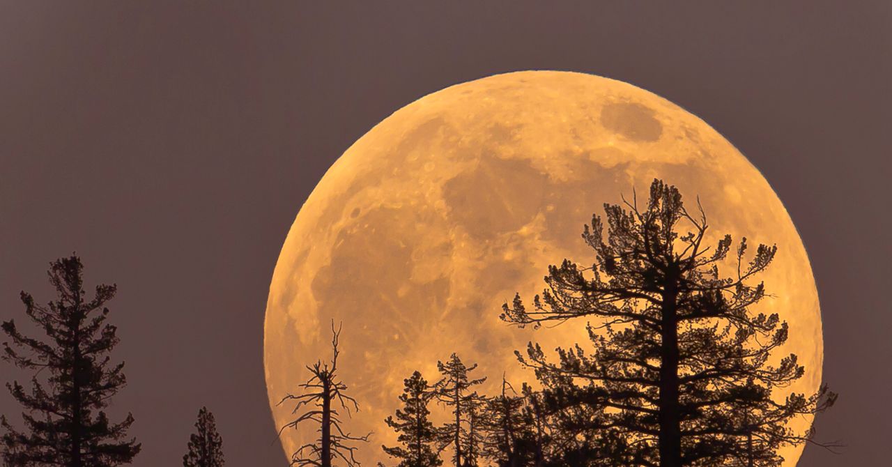
Thursday’s Cold Moon Is the Last Supermoon of the Year. Here’s How and When to View It
A cold supermoon is on its way. On December 4, Earth’s satellite will delight us with one of the last astronomical spectacles of 2025. Not only will it be the last full moon of the year, but it’s also a cold moon—which refers to the frigid…
Continue Reading
-
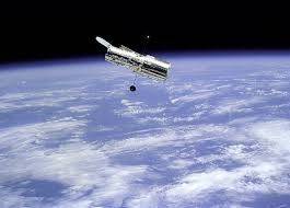
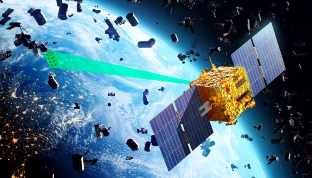
Satellite surge threatens space telescopes, astronomers warn
Light from the half a million satellites that humanity is planning to launch into Earth’s orbit in the coming years could contaminate almost all the images taken by space telescopes, NASA astronomers warned Wednesday.
Scientists have already…
Continue Reading
-
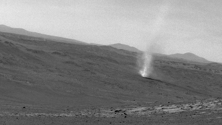
NASA Rover Detects Electric Sparks in Mars Dust Devils, Storms
Thirty-five other discharges were associated with the passage of convective fronts during regional dust storms. These fronts feature intense turbulence that favor triboelectric charging and charge separation, which occurs when two objects touch,…
Continue Reading
-
NASA Rover Detects Electric Sparks in Mars Dust Devils, Storms
Perseverance confirmed a long-suspected phenomenon in which electrical discharges and their associated shock waves can be born within Red Planet mini-twisters.
NASA’s Perseverance Mars rover has recorded the sounds of electrical discharges…
Continue Reading
-
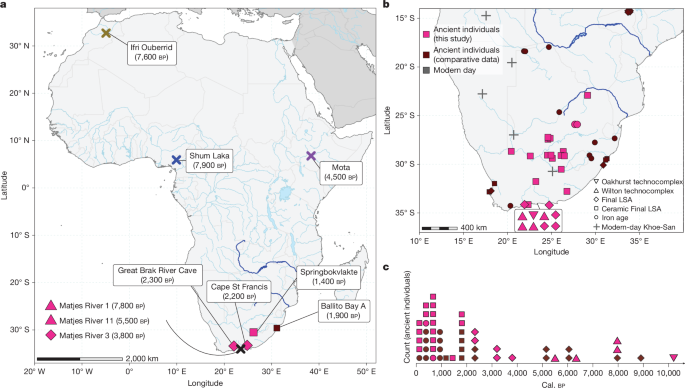
Homo sapiens-specific evolution unveiled by ancient southern African genomes
Nielsen, R. et al. Tracing the peopling of the world through genomics. Nature 541, 302–310 (2017).
Google Scholar
Hublin, J.-J. et al. New…
Continue Reading
-
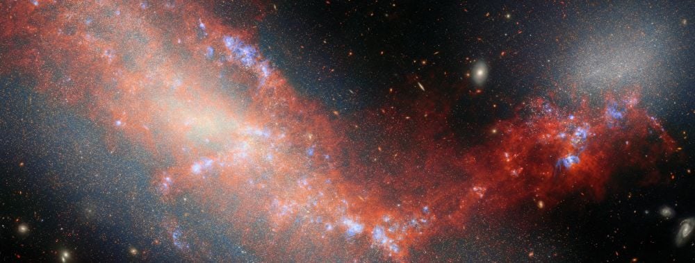
These Two Galaxies Are Tying The Knot And Producing Stars
Galaxies like our Milky Way grew through cascading mergers of smaller galaxies that began billions of years ago. The ancient progenitors of galaxies like ours were small galaxies similar to modern-day dwarf galaxies like the Large and…
Continue Reading
-
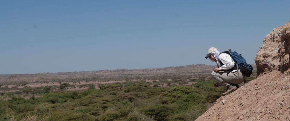
Ancient cousins: New evidence that two early human species lived side by side | CWRU Newsroom
By analyzing recently found bones, researchers have finally solved a puzzle that’s been around since 2009: Who did a mysterious 3.4-million-year-old foot belong to? The discovery changes how we think about our ancient human ancestors.
Continue Reading
-
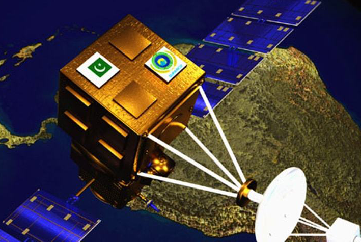
December’s cold moon to shine bright over Pakistan
– Advertisement –
ISLAMABAD, Dec 03 (APP):The Pakistan Space and Upper Atmosphere Research Commission (SUPARCO) announced that the final supermoon of 2025, known as the Cold Moon, will be visible across Pakistan during the nights of December 04…
Continue Reading
-
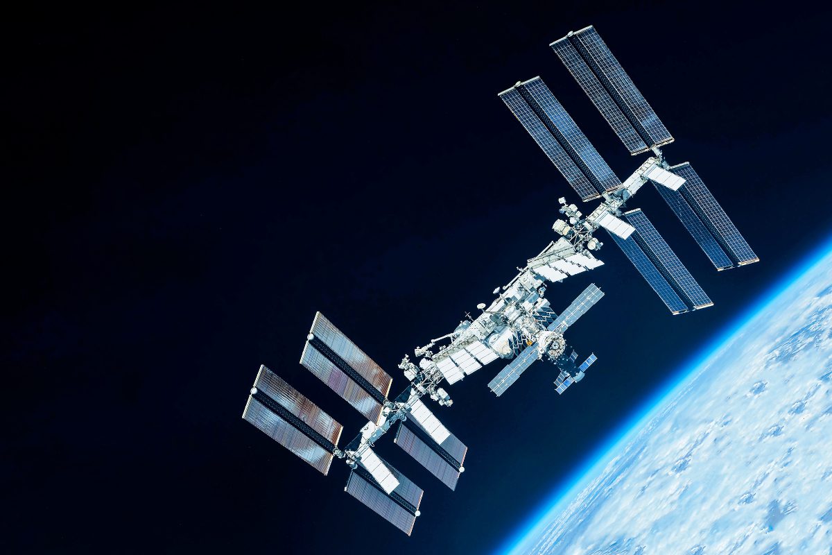
UK project sets out the world’s first roadmap to a circular space economy
The International Space Station (elements of this image furnished by NASA). From reusable rockets to space stations that could one day recycle floating debris into new materials, a first-of-its-kind study from the…
Continue Reading